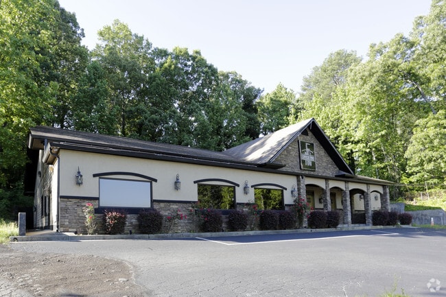
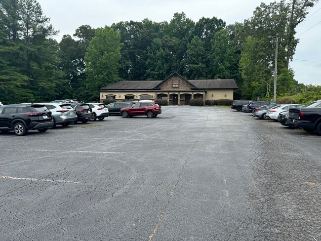
Property Record
Stone Mountain Hwy, Lilburn, GA 30047
Property Detail
Stone Mountain Hwy
Atlanta-Sandy Springs-Roswell, GA
L2 BA DRAKE ESTATES
6-054-251
GWINNETT
Commercialnec
Georgia
C2
2
B and X Area of moderate flood hazard, usually the area between the limits of the 100-year and 500-year floods.
1.17 AC
0
Lilburn/Snellville
2025
Atlanta
050461
NEARBY LISTINGS FOR SALE OR LEASE
DEMOGRAPHICS near Stone Mountain Hwy
1 mile
3 mile
5 mile
2025 Total Population
7,044
64,956
160,796
2030 Population
7,268
67,527
166,767
Pop Growth 2025-2030
+ 3.18%
+ 3.96%
+ 3.71%
Average Age
38
39
40
2025 Total Households
2,498
21,366
52,811
HH Growth 2025-2030
+ 3.36%
+ 4.06%
+ 3.75%
Median Household Inc
$87,802
$93,478
$96,558
Avg Household Size
2.80
3.00
3.00
2025 Avg HH Vehicles
2.00
2.00
2.00
Median Home Value
$337,860
$359,433
$369,469
Median Year Built
1987
1986
1987
Nearby Places
Map Layers
Map Styles
 Street
 Aerial
Transit
 Traffic
 Biking
Places
Listings with unknown addresses are not visible on the map
- Restaurants
- Banks
- Shops
- Fitness
- Groceries
PUBLIC TRANSPORTATION
AIRPORT
Hartsfield - Jackson Atlanta International
Drive
Walk
Distance
Hartsfield - Jackson Atlanta International
44 min
29.9 mi
SALE & LEASE HISTORY
LISTING DATE
SALE/LEASE

Sep 28, 2023
For Sale
Sep 23, 2016
For Sale
Jun 25, 2024
For Sale
Jun 02, 2017
For Sale
Nearby Properties
Address
Land Use
TOTAL SIZE
Lot Size
Zoning
Address
Land Use
TOTAL SIZE
Lot Size
Zoning
Address
Land Use
TOTAL SIZE
Lot Size
Zoning
2,682,168 SF
80.24 AC
M1
Address
Land Use
TOTAL SIZE
Lot Size
Zoning
301,646 SF
23.90 AC
RM13
Address
Land Use
TOTAL SIZE
Lot Size
Zoning
462,669 SF
102.65 AC
R100
Address
Land Use
TOTAL SIZE
Lot Size
Zoning
232,617 SF
19.61 AC
RM
Address
Land Use
TOTAL SIZE
Lot Size
Zoning
307,313 SF
15.60 AC
RM24
Address
Land Use
TOTAL SIZE
Lot Size
Zoning
339,612 SF
38.64 AC
C2
Address
Land Use
TOTAL SIZE
Lot Size
Zoning
526,306 SF
77.45 AC
R100
Address
Land Use
TOTAL SIZE
Lot Size
Zoning
278,756 SF
27.72 AC
RM
Address
Land Use
TOTAL SIZE
Lot Size
Zoning
3,500 SF
391.26 AC
R100
Address
Land Use
TOTAL SIZE
Lot Size
Zoning
335,605 SF
20.22 AC
RM100
Address
Land Use
TOTAL SIZE
Lot Size
Zoning
175,045 SF
13.01 AC
RM
Address
Land Use
TOTAL SIZE
Lot Size
Zoning
113,100 SF
11.39 AC
C2
Address
Land Use
TOTAL SIZE
Lot Size
Zoning
179,784 SF
6.57 AC
C2
Address
Land Use
TOTAL SIZE
Lot Size
Zoning
492 SF
208.14 AC
R100
Address
Land Use
TOTAL SIZE
Lot Size
Zoning
111,729 SF
6.67 AC
C2
Address
Land Use
TOTAL SIZE
Lot Size
Zoning
139,448 SF
15.97 AC
RM
Address
Land Use
TOTAL SIZE
Lot Size
Zoning
217,730 SF
29.68 AC
C2
Address
Land Use
TOTAL SIZE
Lot Size
Zoning
99,280 SF
4.51 AC
C2
Address
Land Use
TOTAL SIZE
Lot Size
Zoning
106,114 SF
16.59 AC
C2
Address
Land Use
TOTAL SIZE
Lot Size
Zoning
97,411 SF
8.47 AC
BG
Address
Land Use
TOTAL SIZE
Lot Size
Zoning
89,686 SF
18.29 AC
C2
Address
Land Use
TOTAL SIZE
Lot Size
Zoning
135,406 SF
14.10 AC
C2
Address
Land Use
TOTAL SIZE
Lot Size
Zoning
103,821 SF
10.80 AC
M1
Address
Land Use
TOTAL SIZE
Lot Size
Zoning
48,985 SF
17.87 AC
C2
Address
Land Use
TOTAL SIZE
Lot Size
Zoning
123,980 SF
11.50 AC
M1
Address
Land Use
TOTAL SIZE
Lot Size
Zoning
57,322 SF
9.18 AC
C2
Address
Land Use
TOTAL SIZE
Lot Size
Zoning
88,892 SF
7.50 AC
M1
Address
Land Use
TOTAL SIZE
Lot Size
Zoning
80,310 SF
4.92 AC
C2
Address
Land Use
TOTAL SIZE
Lot Size
Zoning
91,096 SF
28.67 AC
OI
The World's #1 Commercial Real Estate Marketplace
Connect with us
© 2026 CoStar Group
The information above has been obtained from sources believed reliable. While we do not doubt its accuracy we have not verified it and make no guarantee, warranty or representation about it. It is your responsibility to independently confirm its accuracy and completeness. Any projections, opinions, assumptions, or estimates used are for example only and do not represent the current or future performance of the property. The value of this transaction to you depends on tax and other factors which should be evaluated by your tax, financial, and legal advisors. You and your advisors should conduct a careful, independent investigation of the property to determine to your satisfaction the suitability of the property for your needs.